One Day Itinerary: The Oregon Coast
A big thank you to the folks at Travel Oregon for helping make this trip possible by securing us a discounted rate at the fabulous Cannery Pier Hotel and taking care of our night at the Best Western Plus Beachfront Inn. As well as for helping us with plenty of recommendations for what to see and where to eat some great gluten free food along the Oregon Coast.
While I would suggest you devote far more time to exploring the Oregon Coast - if you only have one day, TAKE IT! It's a journey of over 300 miles and if you start as early as you can possibly stand - you'll have time to briefly explore a whole lot of beautiful places. Keep in mind that depending on when you make drive you could encounter some traffic along the way. We drove this route on a Thursday in late June which gave us great weather but seemed to keep most of the crowds away. To get a little taste of our journey, make sure to check out our trip video.
The destinations I've included below represent just a tiny fraction of the interesting places you could stop on a one day road trip down the Oregon Coast. If you're a lighthouse fan, you're in luck - there are eleven dotting the coastline of which seven are open to the public. With the exception of one important cultural stop for any '80s kid, our itinerary consisted mostly of natural areas with outstanding views.
The Cannery Pier Hotel, Astoria | Map
We started our journey just across the river and almost under the Astoria-Megler Bridge which crosses the Columbia River from Washington State to Oregon. The Cannery Pier Hotel makes for an excellent base of operations to prepare for and then begin a trip down the Oregon Coast. From the balconies which extend out over the river to the generous supply of dog treats and goodies - it's earned a spot as one of my favorite hotels. The standard guest rooms are more like suites with soaking tubs, fireplaces, plenty of sitting area options, and all important to those of us with dietary restrictions - a refrigerator. I'll be following up with a more detailed post about many amenities of the Cannery Pier Hotel, but it really is a great spot to start your long journey from.
The Goonies House, Astoria | Map
Visiting Mikey's house from the movie The Goonies just seemed like something any self-respecting kid born in the 1980s must do if they find themselves in Astoria. The film locations span all over the city and the northern part of the Oregon Coast. I'd say that movie definitely had an impact in terms of my sense of adventure and wandering around the locations where it was filmed brings all excitement right back.
Keep in mind the house is a private residence and while no cars are allowed up the driveway, you can park on the street below and walk up to respectfully reminisce about your childhood.
The Peter Iredale Shipwreck, Fort Stevens State Park | Map
One of the first of many beaches to wander along the Oregon Coast, this one comes with the added interest of a picturesque rusted and barnacled shipwreck. The Peter Iredale ran ashore on the beach near Fort Stevens while enroute to the Columbia River back in 1906. It makes for quite the photo-opportunity and a lovely place to start the morning out on the coast. If you're a history buff, it might be worth spending a bit longer wandering around the park. Fort Stevens is the only military fort on the U.S. mainland fired on by an enemy during World War II by Japanese submarines.
A day use pass to enter the park is available for $5.00 and can be purchased at small yellow machines near the entrance which take credit cards (yay!) or at a park office or booth. This pass will be good for any state park that charges a day use parking fee.
Ecola State Park | Map
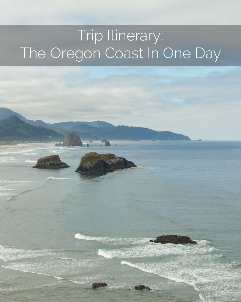
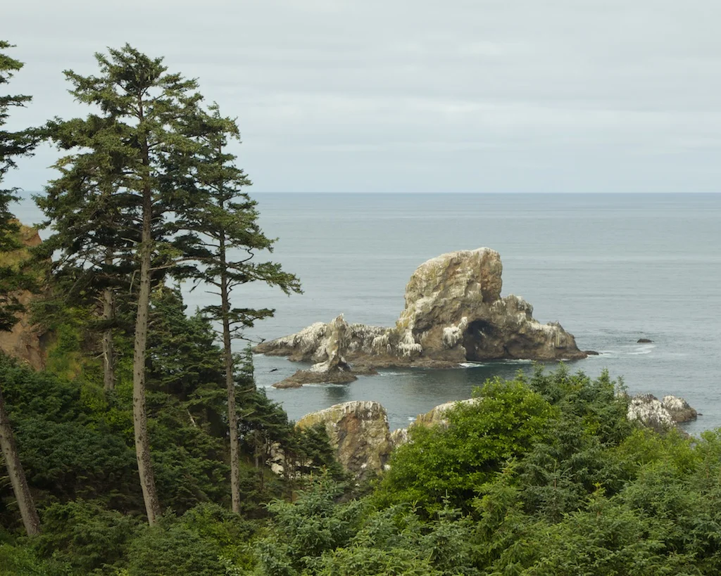
Another must for travelers following the Goonies cultural tourism path, is Ecola State Park. It's no wonder why they chose to shoot the film here with the collection of large sea stacks which all clearly look like they hide hidden pirate ships and treasure. Just from main parking area, you can take in beautiful views down the coast towards Cannon Beach and spot the Tillamook Rock Lighthouse in the distance.
Make sure to keep your day use pass from Fort Stevens State Park to use here as well.
Hug Point State Recreation Area | Map
Having traveled the entire length of the continental west coast of the U.S. and having spent a considerable amount of time on the beaches along it, I'm comfortable with saying that Hug Point may be the most magical of them all. With rocky cliffs, skinny sea stacks topped with flowering succulents, caves, and waterfalls - it's a wonderland that could be explored for hours. If you're driving the coast in just one day - make sure to take a stroll towards the right past the first cliff outcropping to see a bit more of of what Hug Point has to offer.
Pacific City & Cape Kiwanda State Natural Area | Map
I loved the vibe in Pacific City and plan on making a trip back as soon as possible. It reminded me of one of my favorite places on earth; Kaiteriteri, New Zealand - a chill beach town with some beautiful coastline and fun little shops. If the parking lot gets full here - it's total cool to just drive your car out on the beach, carefully following the marked path of course. You'll also see a bunch of boat trailers parked out there to pick up the little fishing boats which beach themselves up on the sand (check out 1:21 in our trip video to see one boat in action). Just to the north of Pacific City is Cape Kiwanda State Natural Area, which has miles of trails waiting to be explored.
Nye Beach Cafe, Newport | Map
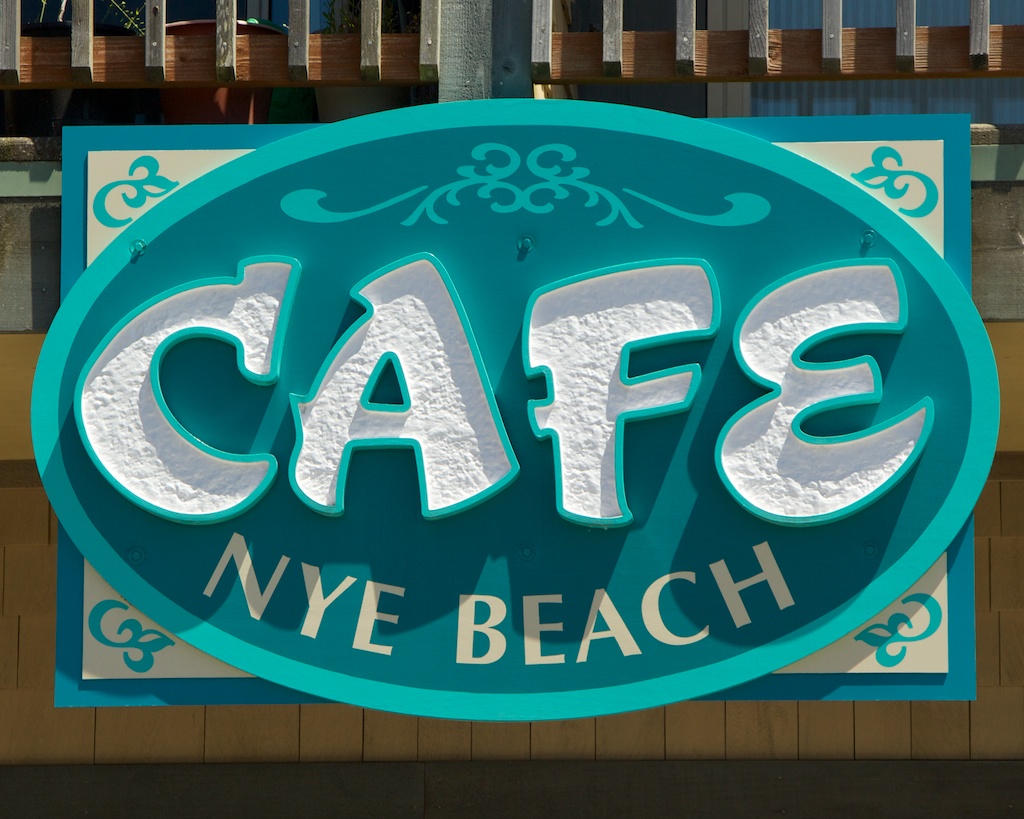
At 134 miles south of Astoria, Newport makes for a good mid-way point to stop for lunch. The Nye Beach area on NW Coast St. is a fun mini neighborhood to explore while fueling up for the rest of the journey. We grabbed some great sandwiches from Nye Beach Cafe which happens to be just next door to the Savory Cafe which also has a number of gluten free options available.
Cape Perpetua Scenic Area | Map
I never expected the lovely rugged cliffs and rocks of Cape Perpetua when planning our journey down the Oregon Coast. There are a few spots to pull off the highway throughout the area with trails which will take you down to the water's edge. After passing by a calm Devil's Churn, we stopped at Thor's Well hoping for some better splash action. It's a great spot to stretch your legs and wander around - just make sure to wear good shoes since the rocks are very sharp and those waves can come out of nowhere.
Port Orford | Map
While driving through Port Orford we saw "OCEAN VIEW" painted on a spur road and really, who can't be expected to follow that. As we drove up and over the rise we meandered our way down to a quiet beach right next to the Port of Port Orford. After a short walk down a sandy path, the views down the coast go for miles. It's another pleasant place to stop, stretch your legs, and take in the views.
Meyers Creek Beach | Map
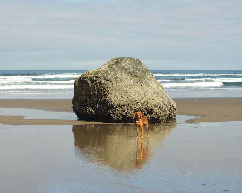
About 14 miles south of Gold Beach is Meyers Creek and a collection of magical sea stacks which rival those seen from Ecola State Park in the northern section of the coast. If you time the drive just right, or simply get lucky, you may make it here in time for golden hour and let me tell it's quite the sight to be seen.
Samuel H. Boardman State Scenic Corridor | Map
Of all the destinations on our list to explore, I was most excited about the natural bridges and rocky coves of Samuel H. Boardman State Scenic Corridor. My Google searches indicated it would be the most fabulous stop on our journey and while it didn't disappoint it sure became one of the more story worthy portions of the trip.
The brochure for the park mentions a short walk to a wooden viewing platform for the natural bridges. We arrived about 15 minutes prior to sunset and were determined to capture a colorful shot to conclude our trip video. In our haste to make it to the viewing platform in time we plummeted down the trail, running straight over the viewing platform (which seemed more like a bridge), and down the Oregon Coast Trail to the very edge of a cliff with beautiful views. We watched the sky shift through different shades of pink and orange before trekking back up the overgrown trail and catching a glimpse of the natural bridges from the bridge-like viewing platform.
The Best Western Plus Beachfront Inn, Brookings | Map
After a long day, we pulled into our landing spot for the evening - the Best Western Plus Beachfront Inn. While we knew it was named accurately, situated on the beach, we could only hear the waves when we arrived far after the sun had set. In the morning we woke up to this view. Gentle dunes and scattered driftwood leading right down to the waters edge.


